Using drones for building surveys and roof inspections
Posted 19 October 2026 By Easton Bevins
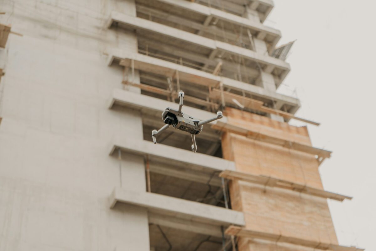
Drones have become an increasingly useful tool when conducting building surveys, particularly where parts of a property are difficult, unsafe or impractical to inspect exhaustively from ground level.
Drones have become an increasingly useful tool when conducting building surveys, particularly where parts of a property are difficult, unsafe or impractical to inspect exhaustively from ground level.
For surveyors, however, the technology is only part of the process. A drone can capture detailed visual information, but it takes the experience and professional judgement of a surveyor to interpret that evidence, diagnose potential defects and recommend what should happen next.
Used appropriately, drones can therefore complement a traditional building survey rather than replace those conducting them.
Where can drones support a building survey?
Drone surveys can provide high-resolution imagery of areas that would otherwise be difficult to inspect, including roofs, façades and other external building elements.
Accordingly, drones are best used when these buildings are:
- Difficult or dangerous to reach
- High above ground level
- Large and expansive, making them costly to inspect from the ground
- In need of detailed visual or thermal inspections
In this instances, drone imagery gives the surveyor additional evidence to assess alongside their wider inspection of the property.
Can a drone replace a building surveyor?
No. A drone provides information, but it does not provide the professional judgement behind a building survey. Images and footage may help reveal signs of deterioration or defects, but their significance still needs to be assessed. The surveyor interprets that evidence in the context of the building, considers possible causes and determines whether further investigation or remedial work may be required. Fundamentally, the drone gathers the information. The surveyor determines what it means.
Drones in practice
At Pippits Court, Severn Beach, the Easton Bevins Surveyance team used a drone to carry out an extensive aerial survey after residents had experienced recurring problems with a leaking roof.
Detailed drone imagery allowed the surveyors to inspect the roof closely and identify several defects, including patch repairs to a lead flat-roof section. The findings were then used to compile a report and recommend appropriate repair options.
The work at Pippits Court provides a useful example of the relationship between technology and professional expertise: the drone provided detailed images, while the surveyors used that evidence to investigate the problem and inform their recommendations.
What are the rules around drone surveys?
Commercial drone operations must comply with UK Civil Aviation Authority requirements, but there is no single permission that applies universally to every type of flight. Requirements depend on factors including the drone and the nature of the proposed operation.
The CAA distinguishes between different operating categories. Its Open Category covers low-risk flying, including low-risk commercial activity, while operations outside its requirements can fall within the Specific Category and require an operational authorisation from the CAA.
Depending on the operation, requirements can therefore include Flyer and Operator IDs and, for more complex operations, additional authorisation and competency requirements.
An additional tool for the surveyor
Drone technology can make previously difficult areas of a building easier to inspect and provide valuable visual evidence about its condition. But its value ultimately depends on how that information is interpreted.
At Easton Bevins, our fleet of drones form part of the surveyor’s toolkit, supporting rather than replacing the expertise, diagnosis and professional judgement at the heart of a building survey.
If you are concerned about the condition of a roof or other difficult-to-access areas of your property, our team is always available to help.
Back to news